HIGH PEAK TRAIL WALKS
(From A walk on 27th June 2016)
HURDLOW QUARRY & 'Y' Point Site.
To reach the old track bed and reach the 'Y' point site I took a taxi from Buxton to the public footpath entrance on the A515 just to the south of the Brierlow Bar Book Store. There is a bus
service but I just missed one when arriving at Buxton station and with an hour between buses decided it was easier just to take a taxi. It's a rather strange public footpath as it leads nowhere
and takes you onto private land that is fenced off. As it also leads to a farm access bridge over the railway it may once have led elsewhere, possibly onto the Earl Sterndale Road but at
preset only to the old track bed.
The use of the word "Low" for 'High' in the Derby Dales is interesting as the word completely contradicts it's proper English meaning. I may be wrong but my thinking is that it may be from
the old Scottish word "Law" which means a Hill. SCottish Gaidhlig and Scots words were used south as far as Derbyshire therefore the pronounciation of Law may well have been changed
over the centuries. The best known use of "Law" is in Dundee where you have the main peak above the City known as the "Dundee Law". You don't say the "Dundee Law Hill", as that
would be using Hill twice, you just say "The Dundee Law or "just the "Law". You will find the word being used or still printed in maps around the north east of Scotland, in particular.
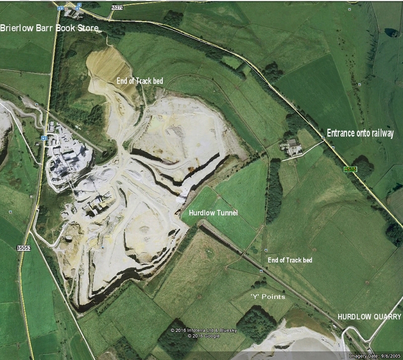
The Brierly Grange area from Google. Note how you reach the track bed from the public footpath on the A515 and where
you meet the track bed have todecide which way to go first, northwards to where the track bed ends by the quarry or
southwards to the site of the Y points (Reversing Triangle), which you get to by the footbridge over the working railway.
You have to return to the A515 Footpath entrance to leave the site.
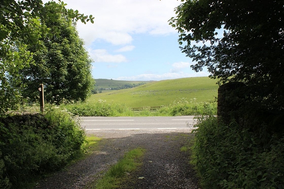
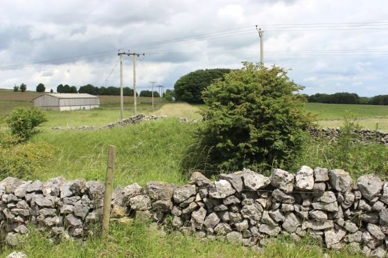
The footpath entrance by the A515. N.B. The high stone pillar to the left and the public footpath post
on the right.
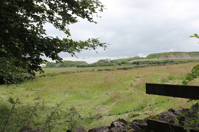
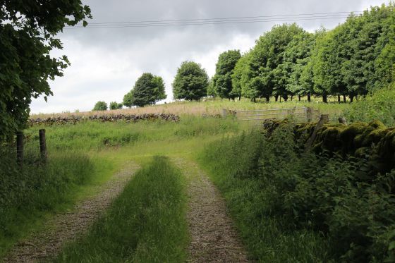
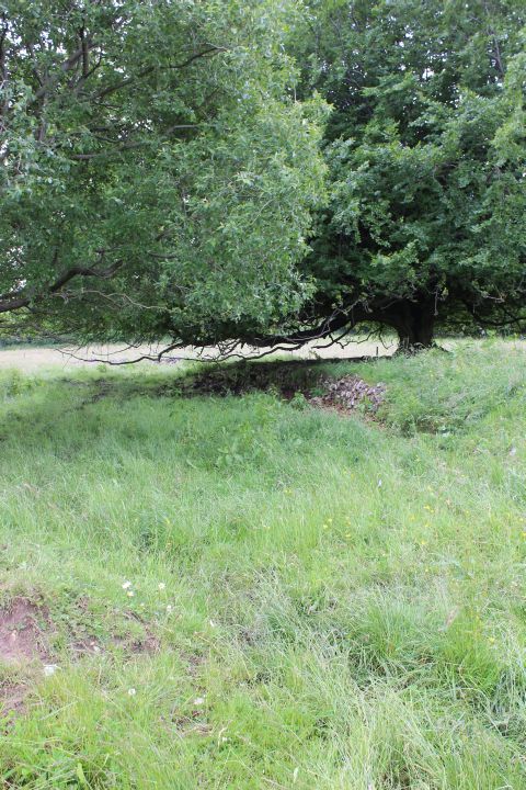
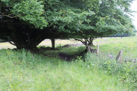
You come to a gate but there is a side gate that opens to let you go forward. View from the south side of the gate towards
Hurdlow Quarry.
.JPG)
.JPG)
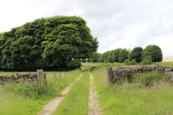
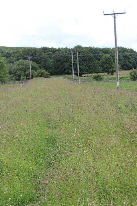
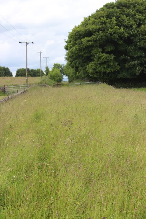
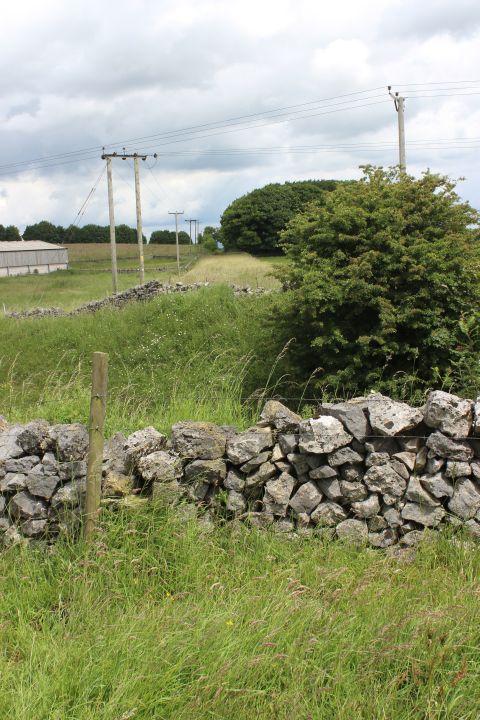
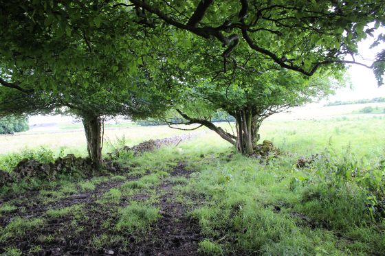
On the public footpath, towards the old track bed. Left: Towards the track bed. Right: Reverse view. Back along the footpath to the A515 entrance.
View back towards the road entrance.
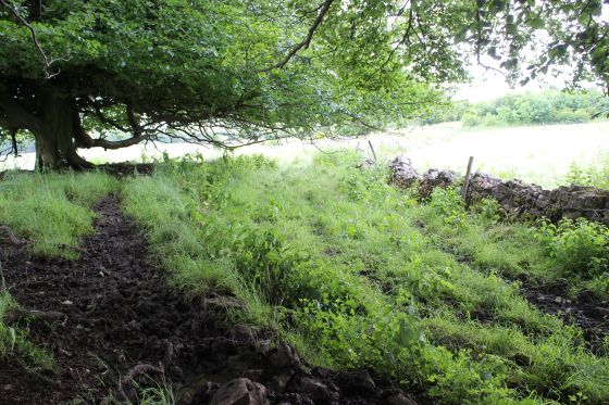
Left: On the public footpath towards the old track bed. Right: Meeting the track bed that runs horizontally across your path.
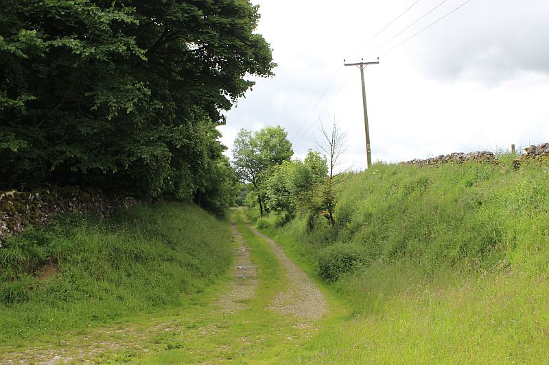
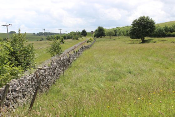
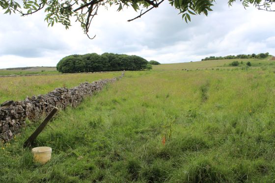
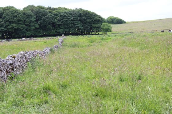
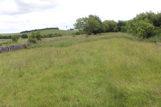
The track bed running towards the 'Y' Point site.
Looking back from the end of the track bed along the embankment. Left: Northwards. Right: Towards the end of the track bed by the main line.
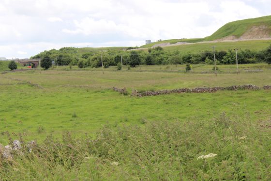
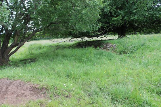
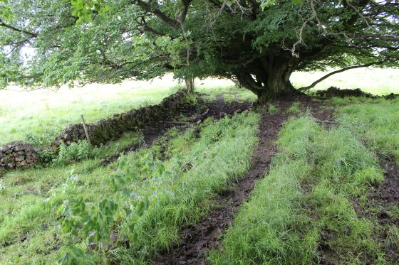
Left: Towards the quarry from the track bed. Right: Back towards the foot path. The railway was on an embankment at this point.
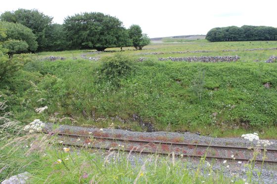
The break in the track bed where it crossed the present working line. The track bed level is so perfect that you wouldn't know there was a gap.
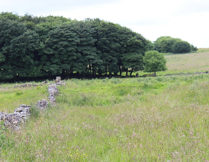
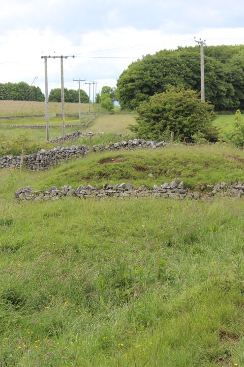
This is the east side of the track bed, looking towards the 'Y' point that is just ahead in the trees. The main line curved to the left and went
down to the north end of Hurdlow Quarry, while the triangle track ran to the right and on to the head shunt. Trains were turned so that loading
doors would always be on the correct side at their destinations. It is also said that it also stopped the weight in the wagons forcing the doors
open. The end of the head shunt is to the far right in line with the base of the trees.
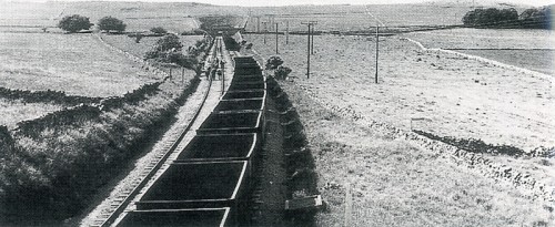
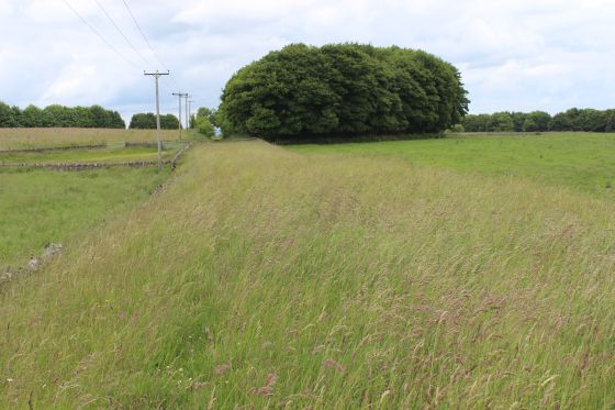
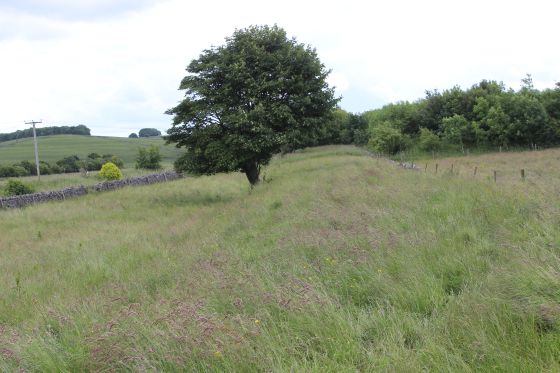
A train of spoil wagons and gangers working on the new line just south of Hurdlow tunnel. The two trees on the left mark the site of the turning triangle and
the old track bed running horizontally across the scene. Just to the left of the middle of the train you can make out the old track bed rising towards the
triangle. The bridge up ahad is the public foot path bridge as seen below, left. Interesting to see that the new line was double tracked. I would be interested to
know if the original route ran on the flat before the cutting was dug out for the new route, or if there had already been a bridge there! If it wasn't for the 'Y'
points the cheapest and easiest way would have simply curved from this point towards the trees on the right. The new line opened in 27th June 1992. I read
somewhere that the tunnel had been designed for double track but it was never laid. It certainly looks in this photo as if it had!
(John Marshall. 22nd June 1964).
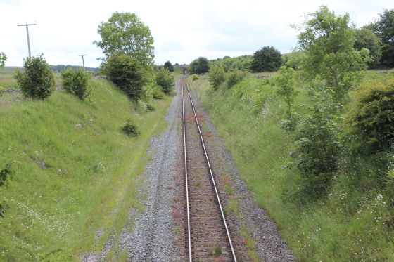
The footpath bridge and the working track line. From the original track bed.
Having looked around this spot I then turned back along the track bed to where I got onto the old track bed to make my way over the footbridge and to reach the turning triangle site.
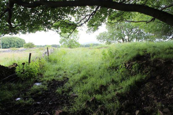
Left: The old track bed heading north from where it is cut off by the working branch. Right: On the embankment above the stone-built farm access bridge.
Left: From the footpath leading to the footbridge, towards the end of the track bed toward the running railway. Right: The embankment from the footpath.
Back to the end of the embankment and here you see the need to turn to the right and get over the gate towards the Footbridge that spans the railway
and takes you over the the 'Y' point site. This is private property and permission should sought. However, it may be that there is no-one around for a
long time, therefore crossing the gate should only be done if there are no cattle grazing or if the barn is in use with animals. Use your common sense
and respect for the situation. In this instance there were no animals present.
.JPG)
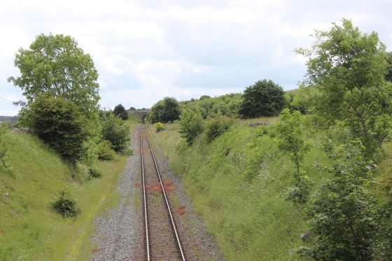
The south end of Hurdlow Tunnel. Hurdlow station was just outside the northern portal.
Taken from the footbridge. Left: Towards Hurdlow quarry. The original route crossed by the trees on the left. The 'Y' points were off to the right.
Left: Western side of the footbridge and the working railway. Right: Where the original line crossed the newer line, looking along the old embankment before the line
turned northwards..
Ditto.
.JPG)
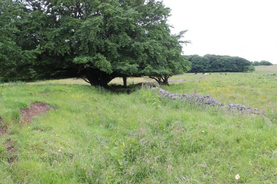
Left: The embankment of the original line to the south points of the triangle on the right, where it ran down to meet the newer line at Hurdlow Quarry.
Right: From the same spot the eastern end of the 'Y' points. The main line turning left and the north side of the Y turning right, toward the head shunt.
Left: Track curving away to the right of the triangle towards the head shunt. Right: Track curving off to the left for Hurdlow and southwards.
Left: Curving southwards. Right: Curving off towards the Head shunt.
Left: By the Y point, looking along the embankment where it crossed the newer line. Right: The north curve towards the head shunt.
The eastern curve. Left: Southwards towards Hurdlow quarry. Right: Reverse view, towards the eastern points and the head shunt.
North end of the traingle. Left: west side towards Head shunt. Right: East side towards the head shunt. This is where the points were and the two lines met.
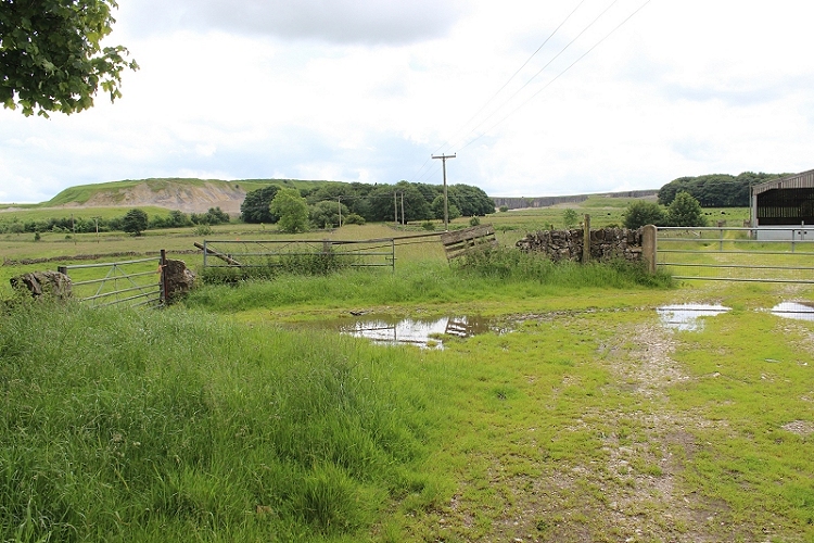
Both. Towards the head shunt. As there were Cows grazing close by I did not attempt to go up to where the stop blocks would have been. There doesn't appear to be
anything to see there. As this section was Horse drawn I would have thought that there had been remains of a stable building of some sort. There are no sign of such.
Cropped image to get closer to where the stop blocks were at the end of the head shunt.
On the old track bed. Looking across the working railway gap . The track
bed at this point has been split too, for farm access.
Left: South end of the triangle. Looking south towards meeting of the two lines at
Hurdlow quarry. Right: Reverse view. The headshunt line turned left while te main line
turned to the right.

Ditto. To photo above, right.
On the south side of the 'Y' points where one side lead to the head shunt, while the other side carried on to Whaley Bridge.
.JPG)
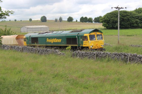
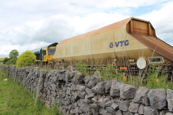
It was a pleasant surprise to suddenly hear a Freightliner Class 66615 creeping up to a stop at Hurdlow, right alongside the original track bed.
.JPG)
The stone train rain from the original track bed as it pulls up at the stop board at Hurdlow.
.JPG)
Both. Close to the point where the two tracks separated at Hurdlow Quarry. This is fenced off anf wildly overgrown and as the grass was still very wet from heavy rain the
day before I didn't even try to venture across it.
.JPG)
.JPG)
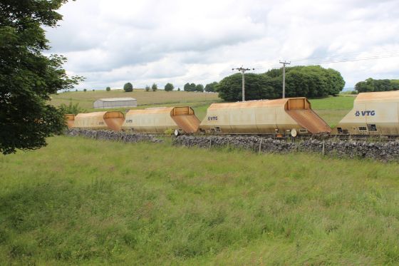
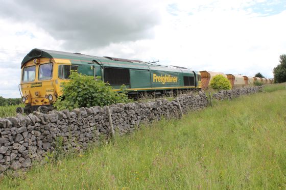
Class 66622 was on the rear of the train.
.JPG)
.JPG)
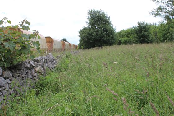
66222 and the train are hauled into the quarry. It is not possible to get to where the two lines met asit is fenced off and quite overgrown, which was a disappointment.
.JPG)
.JPG)
Left: The way back onto the footpath over the footbridge bridge and back to the A515. Right: From the footbridge towards Hurdlow quarry. The old track bed is in the
field to the right.
.JPG)
.JPG)
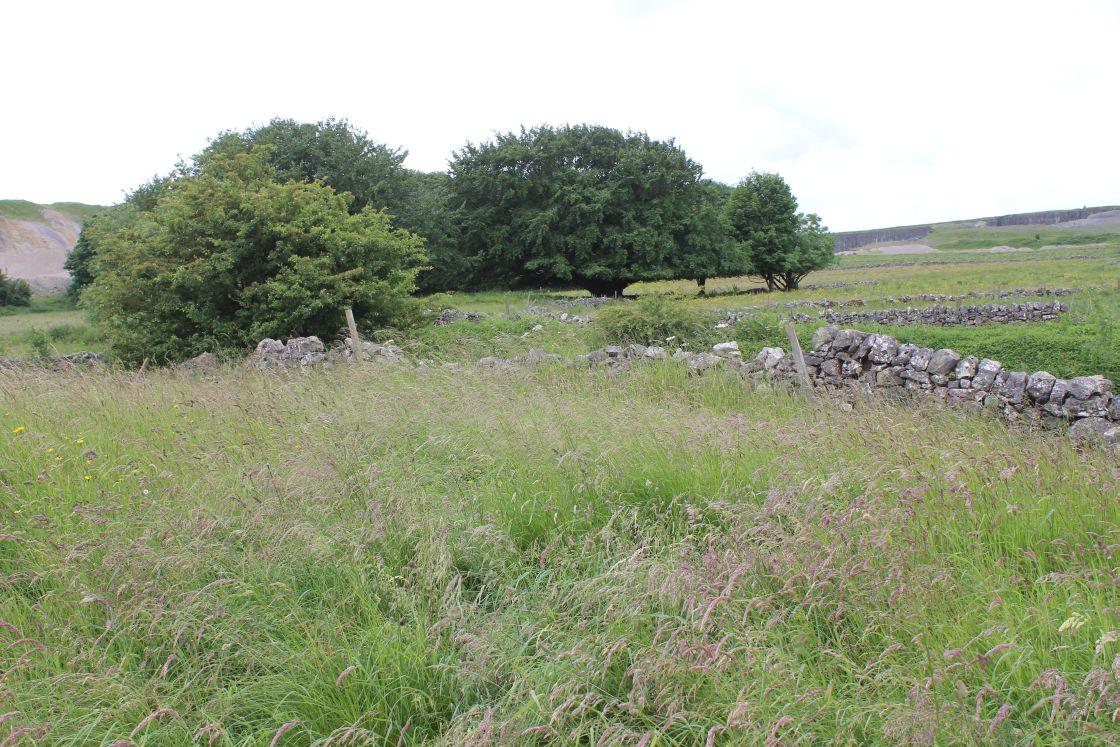
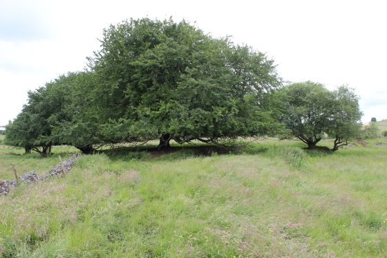
Left: The two trees that mark the turning triangle are seen from the foot bridge. Right: View back towards the main road from the footbridge.
.JPG)
.JPG)
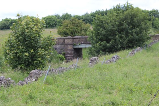
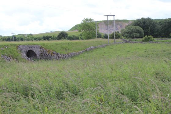
The farm access under bridge on the old embankment.
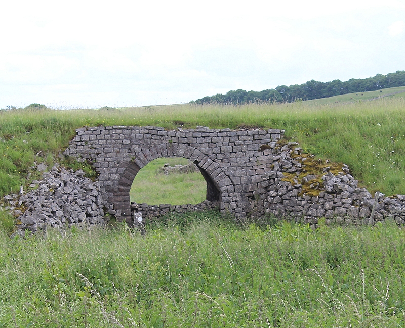
The farm access bridge. Even that has been walled off as a through path.
.JPG)
.JPG)
.JPG)
As I was returning back to the main road EWS Cl66065 shunts a train of stone wagons up to the north end of Hurdlow Quarry.
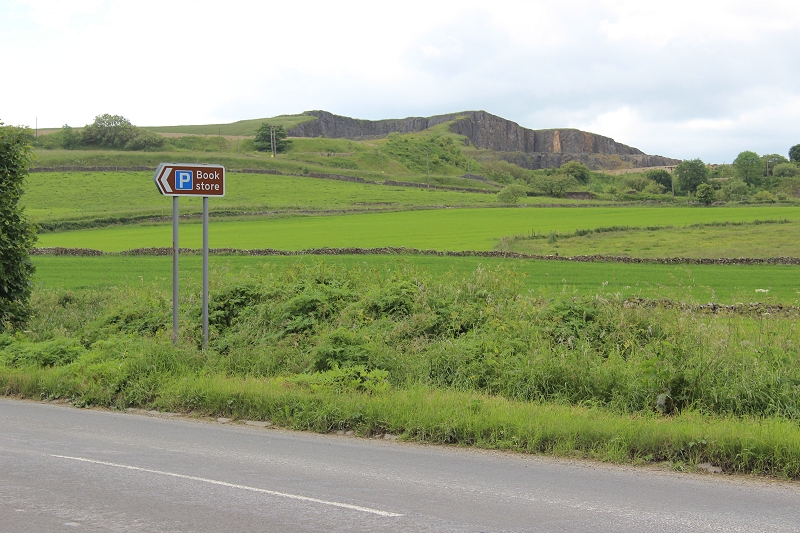
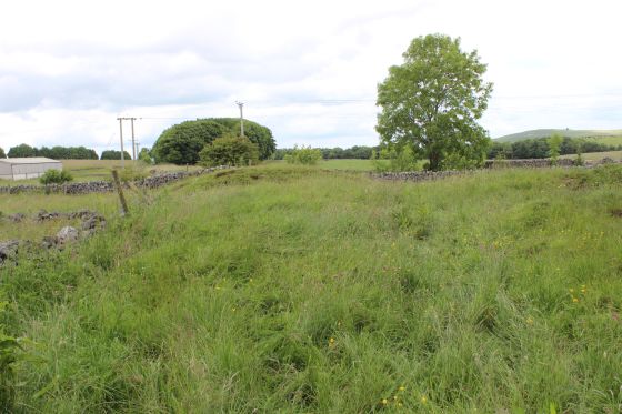
Back at Brierlow and the bus stop by the Book Store. The present day working line embankment is seen in the distance,
while the original line behind the hill and quarry. Here I caught the bus, from Ashbourne, back into Buxton for the train back home.
==========================================================
(New May 2014) WHALEY BRIDGE TO SHALLCROSS INCLINE
To CROMFORD CANAL WALK
===================================
My Thanks To.....
John Neave for his kind permission to use a number of his 1960's photographs when the railway was still in operation. Check out John's ''Going Loco'', which includes a C&HPR history. At....
http://goingloco.neave.com/
Mark Norton for the use of 1940's photos by his late father Dennis J. D. Norton. http://www.photobydjnorton.com/CHPR_Menu.html#Links
Reading: The Cromford & High Peak Railiway by John Marshall. Published by Martin Bairstow. Printed by The Amedeus Press 2011.
The Cromford & High Peak Railway by Alan Rimmer.
Other Railway Walks....
The Dudee & Newtyle Railway The first passenger railway in Scotland opened in 1831, which had three inclines operated by stationary steam engines. The main source of income was from
the numerous stone quarries in the area and local farming produce. Passenger numbers were always sparse.
The inclines were abandoned in the mid 1800's by new deviations that allowed through locomotive running.
The line also included the Dundee Law (Hill) tunnel built at 300ft above the City. Both the north & south portals of the tunnel are buried below modern housing schemes.
Passenger services ended in 1955 and the line closed completely in the mid 60's.
Unlike the C&HPR none of the Engine houses were preserved. The inclines can still be followed but sections have been back-filled or ploughed over.
This web site tries to cover as much as possible.
Boddam To Ellon Branchline Built by the GNSR in the latter part of the 20th century. The passenger service only lasted until 1934 but goods remained up to total closure in 1949.
The GNSR built a large Golf course and Hotel at Cruden Bay, with an electric tramway between the station and hotel. All that remains today is the Golf course.
Dyce To Fraserburgh and Peterhead Walks. Walking the whole of the 50 odd miles of the Ex GNSR branch from Dyce Jctn to Fraserburgh and Peterhead, via Ellon and Maud
Junction that closed between 1967 and the latter 70's. I worked over the routes as a secondman at Kittybrewster Loco Depot in the 60's
and enjoyed seeing the route and old stations that are still to be seen.
Other web pages....
Kittybrewster Memories Kittybrewster Loco Depot, Aberdeen.
Tivoli Memories The Tivoli Theatre, Aberdeen.
Hosted by www.theatreorgans.com
BACK TO HOME PAGE